
The Scale of Human Impact on the Virgin River Corridor
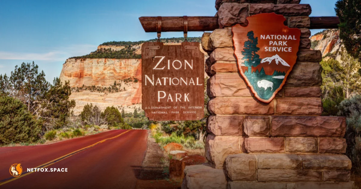
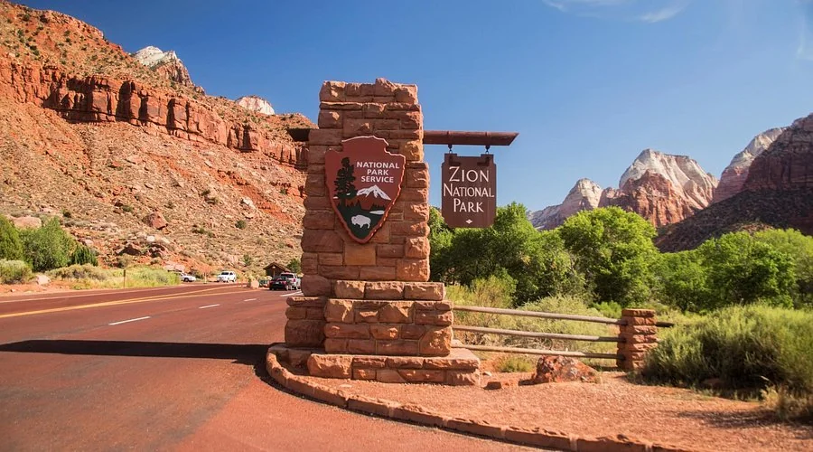
Zion National Park, located within the National Park Service (NPS) system in southwestern Utah, has transitioned from a hidden desert gem into one of the most visited protected areas in the United States. Spanning nearly 150,000 acres, the park is defined by the Zion Canyon, a deep cut of Navajo Sandstone carved by the North Fork of the Virgin River.
The surge in international tourism peaking at over 4.5 million annual visitors has forced a shift in how the Department of the Interior manages the landscape. Access to the primary canyon is restricted to a mandatory shuttle system for most of the year to prevent gridlock. This infrastructure is not merely a convenience but a critical barrier against the degradation of the fragile riparian zone that supports the park’s diverse flora and fauna.
Logistics of Access: The Permit-Driven Experience
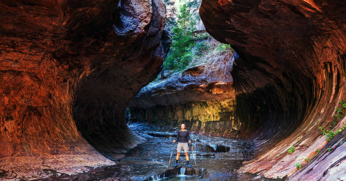
For the modern traveler, visiting Zion requires advanced bureaucratic planning rather than simple spontaneity. Two of the park’s most famous geological features, Angels Landing and The Subway, now operate under strict lottery-based permit systems managed via Research.gov.
The Angels Landing permit system was implemented to mitigate safety risks and "bottlenecking" on the narrow fin of rock leading to the summit. Similarly, hiking The Narrows the narrowest section of Zion Canyon requires constant monitoring of flash flood ratings issued by the National Weather Service. These regulatory layers represent a broader trend in the outdoor recreation industry where demand far outstrips the physical capacity of the wilderness.
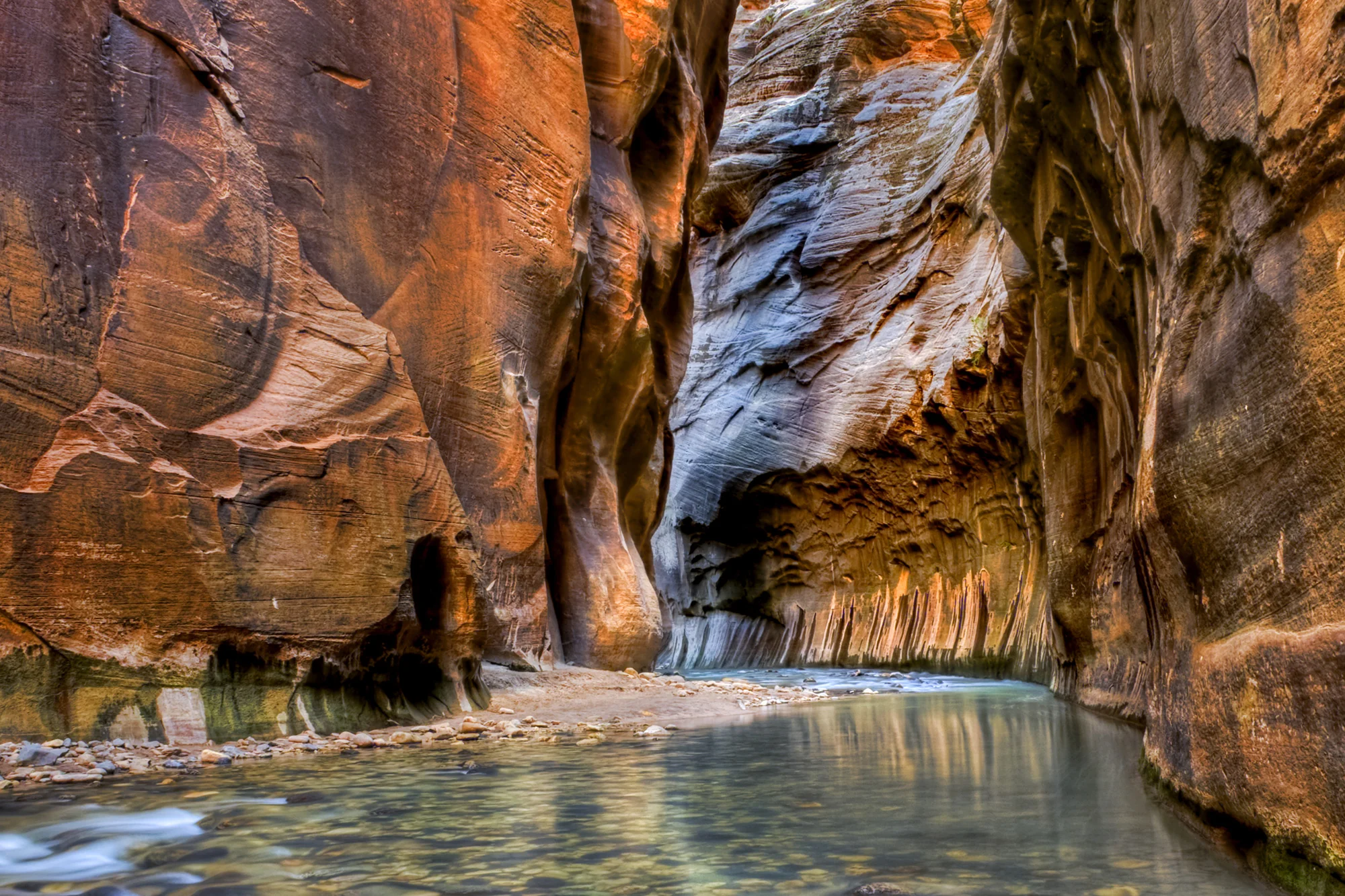
The Invisible Crisis: Cyanobacteria and Hydrological Shifts
While most travel guides focus on the aesthetic of the red cliffs, a critical differentiation in Zion’s current state is the persistent threat of toxic cyanobacteria (blue-green algae) within the Virgin River watershed. Unlike seasonal weather patterns, these blooms represent a structural shift in the park's water quality, often triggered by rising temperatures and nutrient runoff.
| Risk Factor | Impact on Visitor Access | Mitigation Strategy |
|---|---|---|
| Toxic Algal Blooms | Danger to humans/pets in The Narrows | Regular water testing and "Danger" advisories |
| Flash Flooding | Immediate closure of slot canyons | Real-time radar monitoring and hiker education |
| Rockfall Events | Long-term closure of trails (e.g., Hidden Canyon) | Geological surveys and permanent trail rerouting |
| Extreme Heat | Increased medical emergencies in summer | "Hike Smart" campaigns and water station mapping |
This biological hazard complicates the "classic" Zion experience. International travelers must understand that the park's primary water feature is no longer a guaranteed recreational asset but a monitored health variable that can close the park's most famous hike, The Narrows, without prior notice.
Geopolitical and Economic Pressure on Springdale
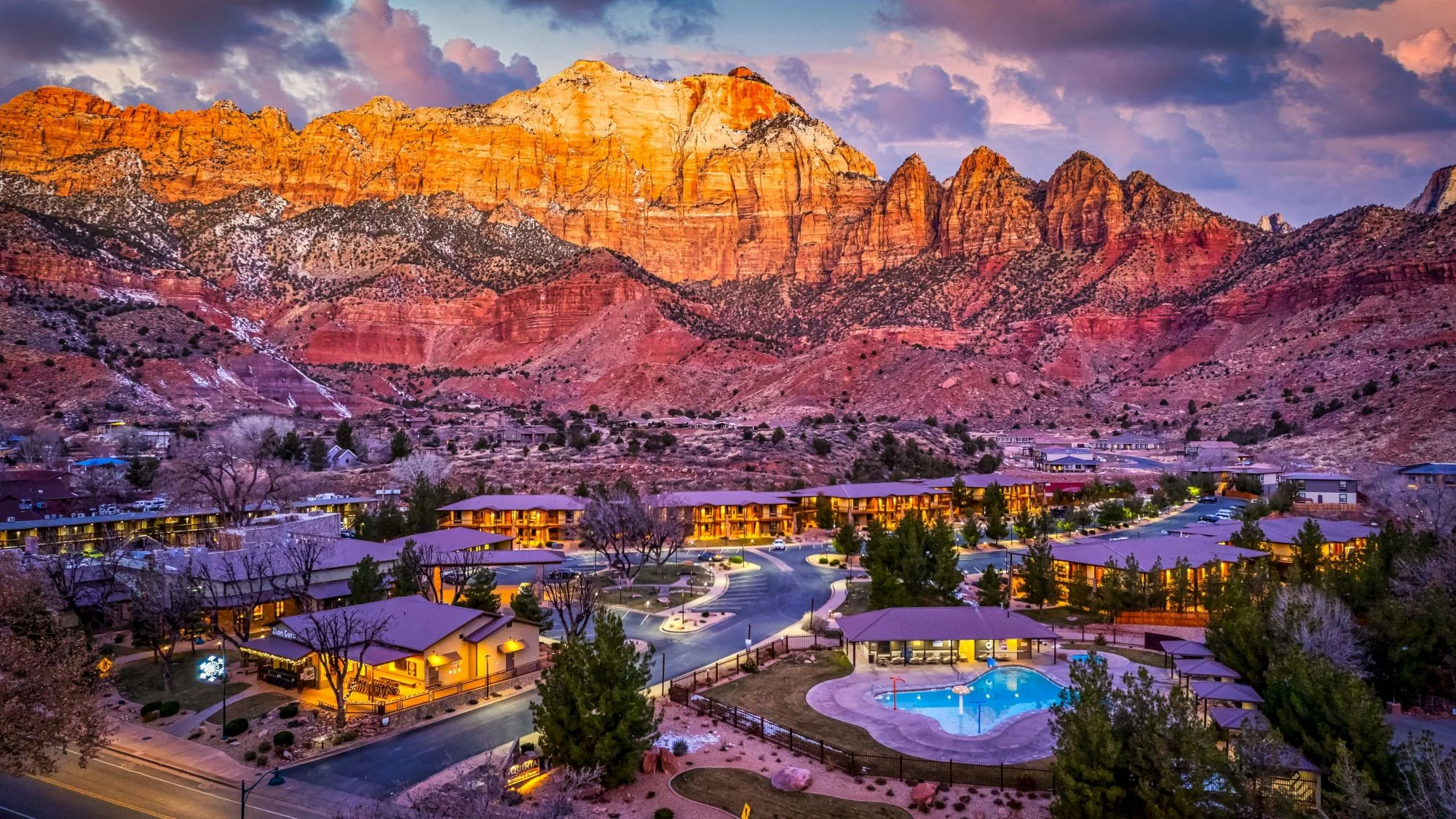
The gateway community of Springdale, Utah, acts as the primary economic engine and logistical throat for the park. The relationship between the municipal government and the National Park Service is a case study in "overtourism" management. The town’s economy is 100% reliant on the hospitality sector, yet it faces the constant threat of resource depletion, specifically regarding water rights in the arid Colorado Plateau.
Investment in the region has shifted from small-scale motels to luxury "glamping" resorts and international hotel chains. This development increases the "hardened" footprint around the park's borders, creating a buffer zone that is increasingly urbanized. For the traveler, this means higher costs of entry and a departure from the "solitude" traditionally associated with the American West.
The Future of the Greater Zion Ecosystem
As the National Park Service evaluates the "Zion Canyon Transportation System" for future decades, the discussion is moving toward a permanent reservation system for park entry, mirroring models used at Arches National Park and Rocky Mountain National Park.
The tension remains between the mandate to provide public access and the biological necessity of preservation. With the Great Basin and Mojave Desert ecosystems converging here, the park is a frontline indicator for climate-driven migration of plant and animal species. Future visitors will likely encounter a landscape that is more strictly policed, more expensive to access, and increasingly defined by its ecological limits rather than its recreational potential.
Comments (0)
Please login to comment
Sign in to share your thoughts and connect with the community
Loading...